
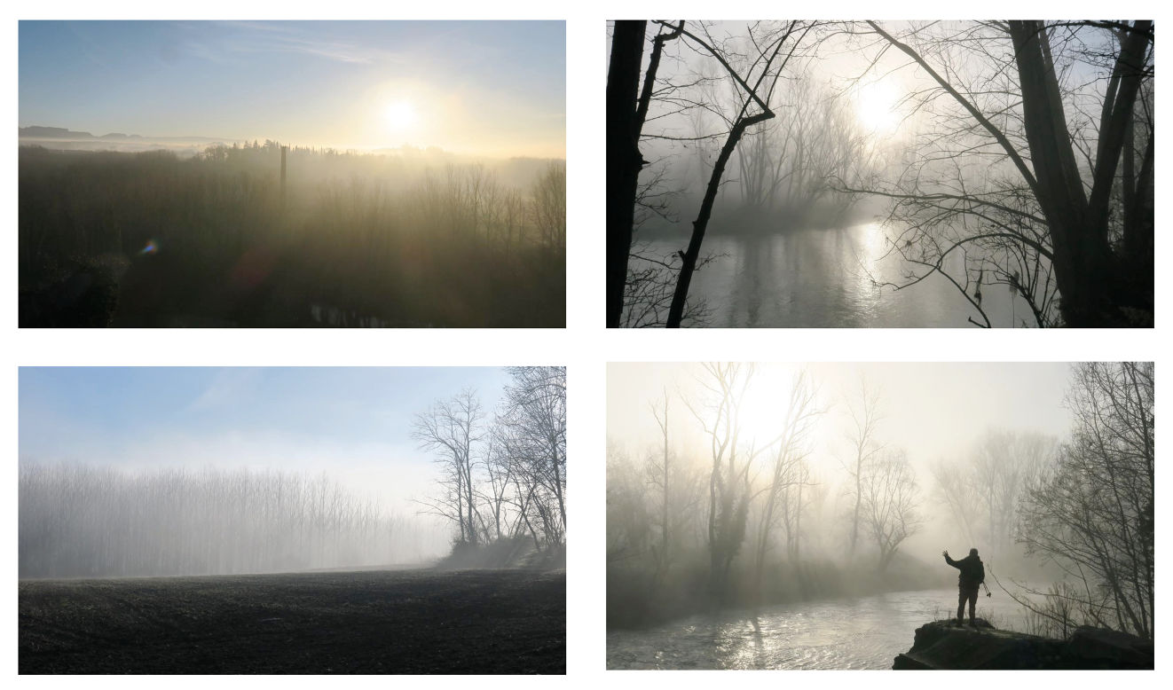
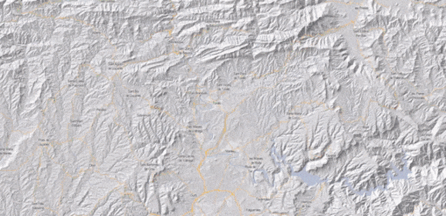
The diagnosis begins at the site, where we visually understand that there is a clear problem with the flow rate of the river Ter.

After a study of the piezometers that frame the intervention area, it is discovered that there are days with very pronounced flow peaks that generate very significant imbalance patterns.
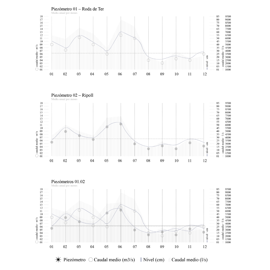 Data from the Catalan Water Agency (ACA). 2019.
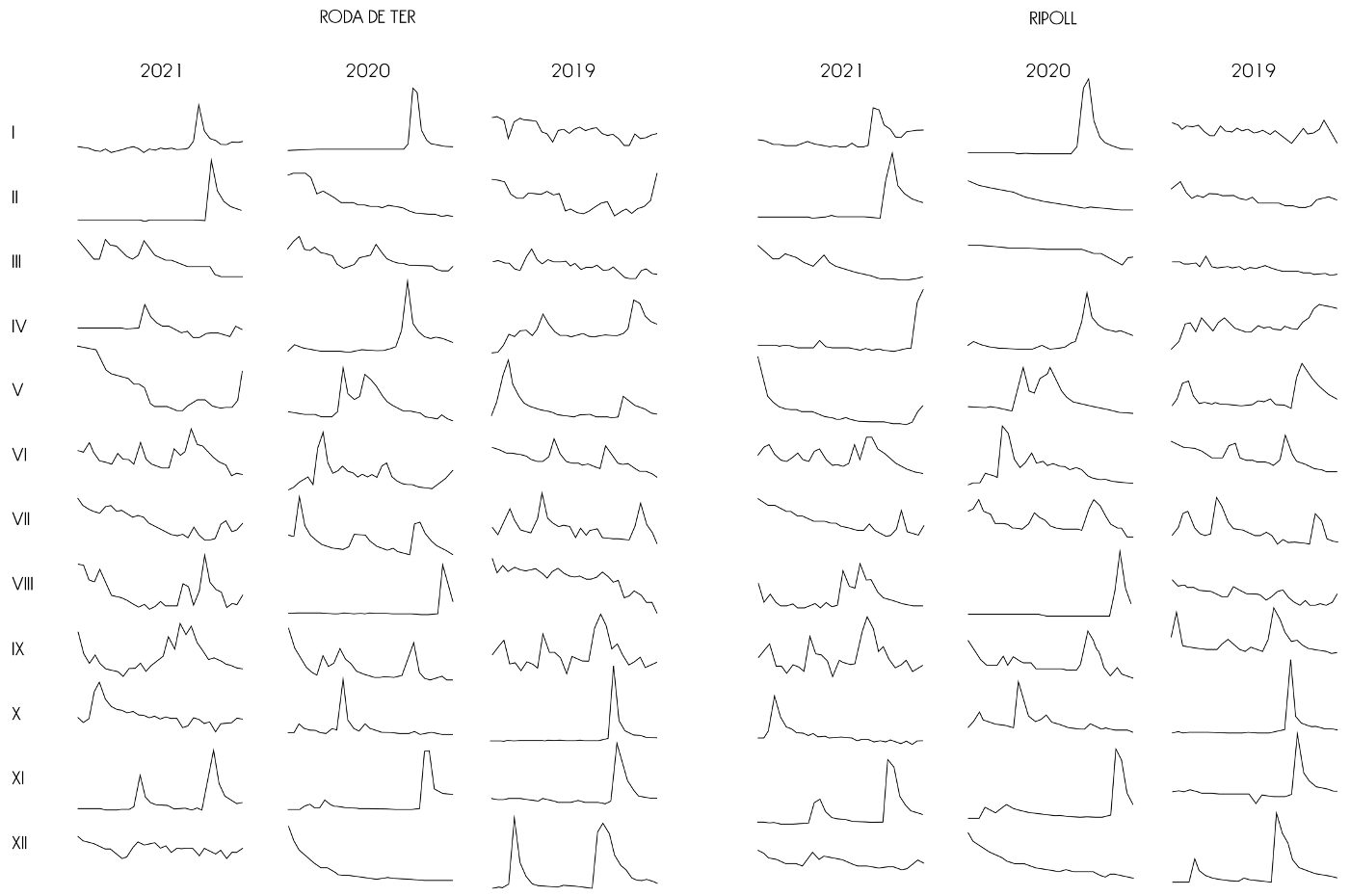
Daily flow graph for the last three years at both ends of the Ter river.
In addition to this problem, according to the Catalan Water Agency, the flow of the Ter has decreased by 16% in the last 30 years and in the last decade rainfall has decreased by 1.5% and temperatures have increased by 0.22 degrees.
According to these data, we can conclude with the hypothesis that the river Ter will disappear in 150 years if nothing is done.
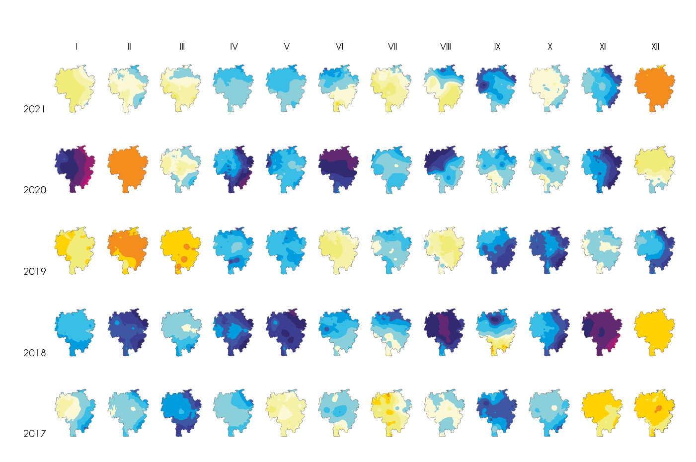
 Data from Management Plan of the Catalan Water Agency (ACA). 2020
Studying the hydrogeography of the river Ter, we find that the river has an associated groundwater body: an aquifer.

This implies that the flow of the river depends intimately on the volume of water stored in the aquifer.
The more water stored in the aquifer, the more flow the river will have. Therefore, when the aquifer is emptied, the river functions as an infiltration basin.
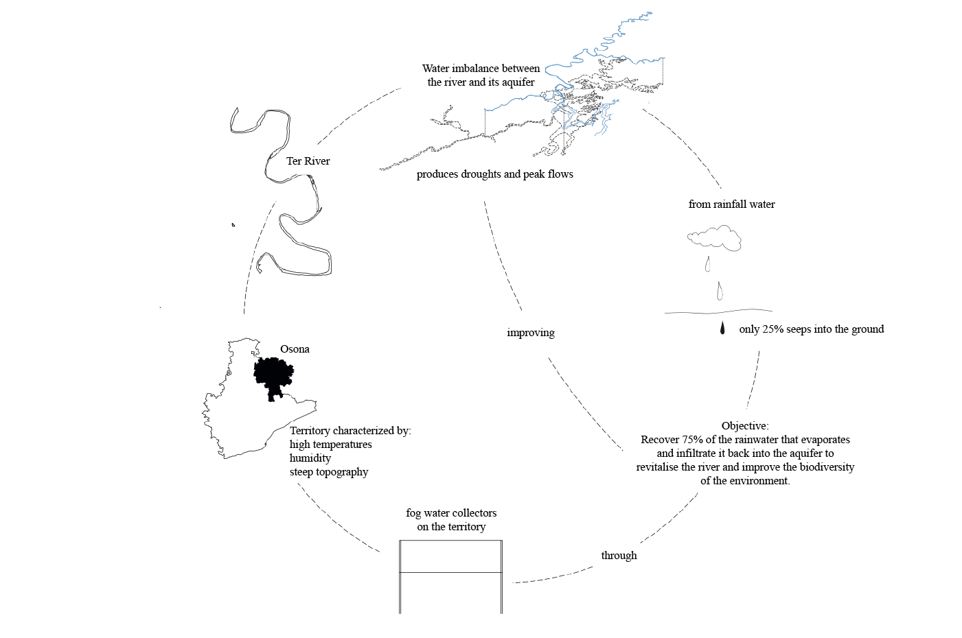
So in order to increase the flow of the Ter and to improve the natural biodiversity of its environment in an efficient way, the aquifer will have to be recharged.


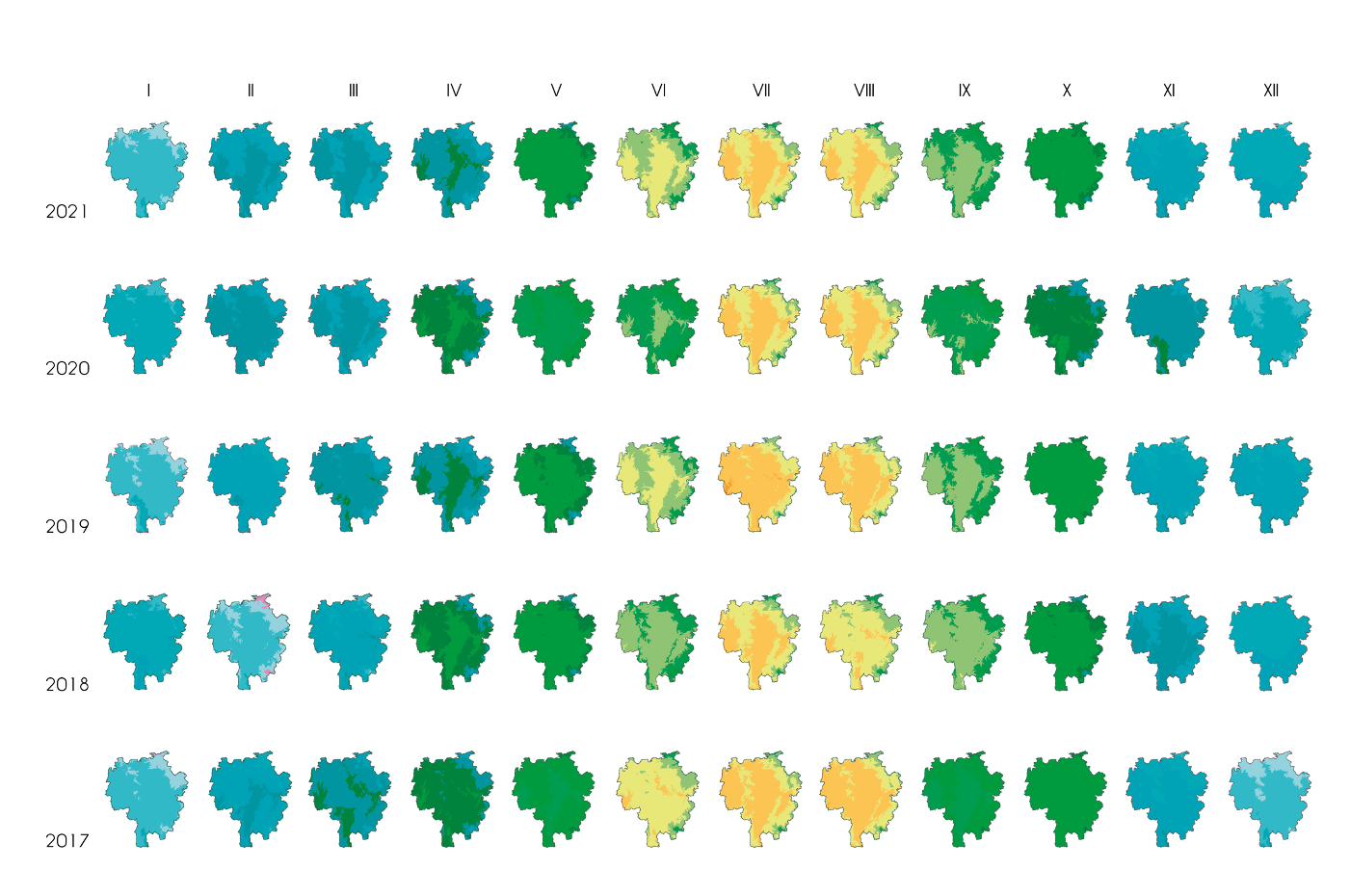
Then, a study is carried out on the aquifer in relation to the territory.
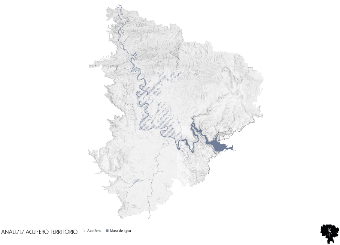
The analysis is divided into 4 blocks: water, landscape, flora and fauna, finding as a conclusion the existence of a critical point of natural disconnection with respect to biodiversity and the ecological connection of the territory.

Therefore, the project's strategy will be to improve the water relationship between the river and its alluvial aquifer by recovering part of the 75% of the water that evaporates and infiltrating it back into the aquifer through moisture troughs.
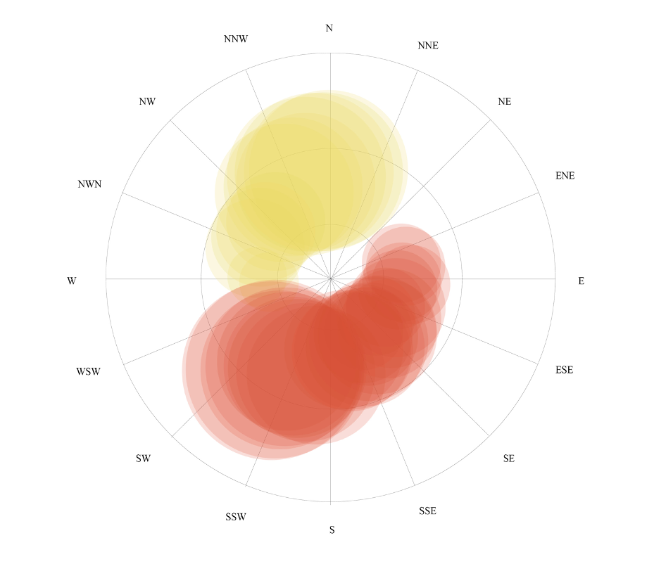
By studying temperatures, relative humidity, air speed and cloudiness, we concluded that our area of intervention is optimal for the implementation of collectors.

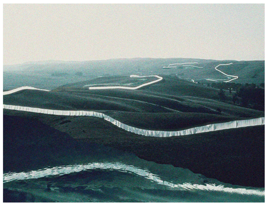
Atmospheric water collectors will be installed in the territory above the aquifer, in public areas adjacent to the river and looking for areas where the most humidity is generated to be collected: areas with deciduous vegetation, topography and winds.
In this way, a study was made of the wind direction and it was superimpose it on the topography to find the most interesting areas for installation.
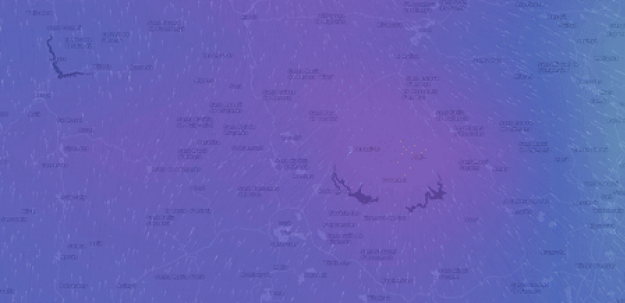
From this overlap emerged the most suitable sites for the location of atmospheric water catchments throughout the study area.
These zones were then catalogued and ordered according to area, pre-existence, flora and fauna.

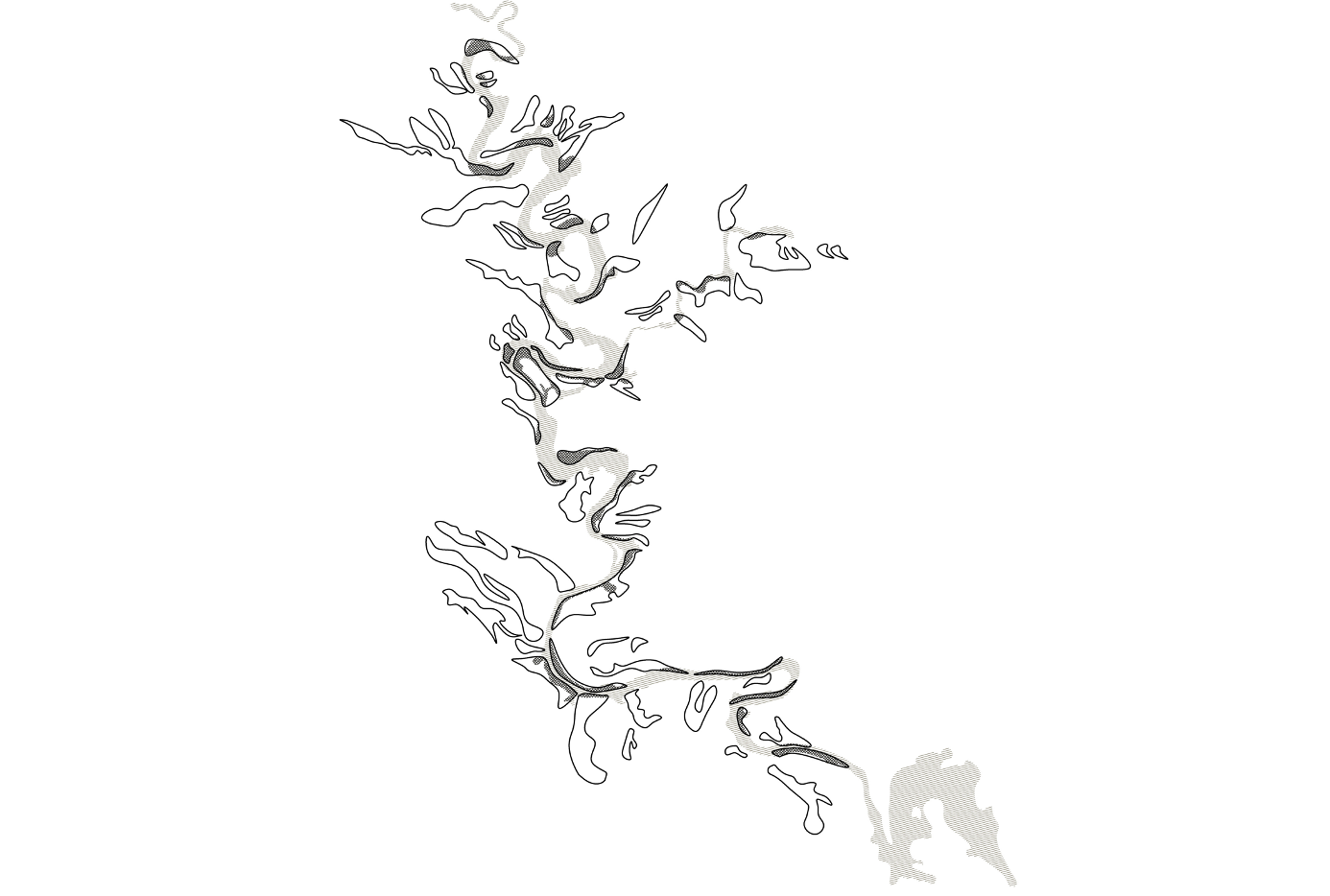
 collage of territorial scale with the concept of discontinuous intervention along the river.
This research is currently in progress.

The current scope of the study is to find the most suitable geometry and materials to make the project as biodiversity-friendly and efficient as possible, as well as respectful with the landscape.